In 2000, Centex Homes bought 340 acres from the Rollins family in Bristow, and 140 of those acres became Bristoe Station Battlefield Heritage Park. In August 2025, Prince William County bought the 22-acre Rollins Farm itself. It sits on the south side of the Norfolk Southern tracks, on ground Union troops held during the Battle of Bristoe Station on October 14, 1863. The deal also set up a larger donation of core battlefield land for 2027.
So the battlefield on Iron Brigade Unit Avenue is about to get a lot bigger. It is growing back onto the farm that shaped this part of Bristow, and across the railroad to the side of the fight most visitors have never been able to stand on.
The farm on the other side of the tracks
Most people who walk the park today stay on the side reached from the traffic circle. The Rollins parcel lies between Bristow Road and the Norfolk Southern rail line, extending the park east across the tracks.
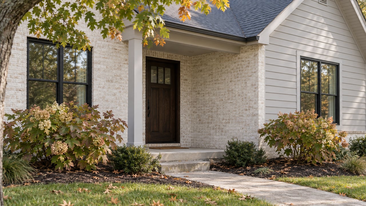
The county's Office of Historic Preservation described the property in its Fall 2026 newsletter. The farmhouse is a late 19th-century Virginia "upright and wing" design, a two-story main block with a two-story wing. It has roughly 540 square feet per floor and a 6½-foot-deep front porch along the 20-foot south wall of the wing. One detail gives the style away. The wing's roof meets the main block below its peak, which modern builders often skip by putting both rooflines on the same plane.
The house has a few layers of history. The previous owner said it sits on the foundation of an older house built in the 1880s. When the current house went up, the old one was dragged several yards north into the field and used as a barn.
The railroad turned the house around. The front door was first on the north wall, because a railroad easement crossed near where the historic corncrib now stands on the battlefield. In 1922, Norfolk Southern raised the original 1852 rail bed by about three feet. That eliminated the easement, so the front moved to the south side and the farm driveway became the only way in.
Historic Interpreter Lance Russell writes that the Rollins family farms were central to Bristoe Station for most of the 20th century. During the Great Depression, the family bought as much land as it could afford from a local land baron. For nearly 100 years, the farm, a gas station, ponds built by the Army Corps of Engineers after World War II, and silos defined the rural village of Bristow.
What the new section is planned to look like
That same driveway is how visitors will reach the new section. Russell writes that future visitors will take the Rollins farm driveway past the position of the Union 1st Rhode Island Light Artillery, Battery A, to a small parking area with interpretive signs and walking trails. The property will be restored to how it looked in 1863. The drive will lead to Union lines at Bristoe Station and to part of the Kettle Run battlefield.
This ground saw fighting in both battles fought here. InsideNoVa reported that in 1862, soldiers of the 60th Georgia fought Union troops from positions along the railroad on the parcel, including a hand-to-hand struggle over the regiment's flag. In 1863, Union troops from New York charged across the same fields under fire, using the railroad embankment for cover on their way to stopping the Confederate attack.
No opening date has been announced for the Rollins section. The American Battlefield Trust's announcement describes the restoration and trail system as future work. For now, the parcel is something to know about, not somewhere to walk.
How big the park could get
The numbers depend on which document you read, so here is what each source says:
- Today's park page: The county's Bristoe Station page still calls it a 140-acre historic site.
- With the Rollins Farm: InsideNoVa, citing the county's release, said the park now covers more than 160 acres.
- The price: The purchase cost $215,000. Rob Orrison, division manager for the Office of Historic Preservation, told InsideNoVa that the price also covers about 150 acres expected to be donated in the coming years.
- The 2027 donation: The county's Winter 2026 newsletter puts the donation at 160 acres of core battlefield land in 2027. That would bring the park to nearly 330 acres, "with possibly more land to come in the future."
If the donation happens as the newsletter describes, the park would be more than twice the 140 acres that opened in 2007. The land would come back together in roughly the same place the Rollins family sold to Centex in 2000.
Four headstones back in Bristow
The other recent change is at the 10th Alabama Cemetery. Anyone who has walked the Alabama Cemetery Trail knows the burial ground doesn't look like a typical cemetery. The county describes ground that isn't green or manicured, a few headstones with no inscriptions, and rows of shallow pits marking where about 100 men from Alabama are buried, 600 miles from home.
The 10th Alabama Infantry arrived in early August 1861 and stayed just under two months at a site they called Camp Jones. Disease, not combat, filled the cemetery. In August, fewer than half of the regiment made it to one drill because the rest were sick. The graves were first marked with cedar headboards. By 1883, a visitor reported that many were gone or unreadable.
At some point, inscribed stone markers went up over the graves of four privates: Thomas A. Barr, Jesse Franklin Leatherwood, Jesse Frank Nabors, and F. Dillard Pritchett. In the later 20th century, as development surrounded the battlefield, the family that owned the cemetery removed the stones to protect them from vandalism or theft. In November 2025, the family returned them to the park. They are in storage while staff plan how to display them.
Both the stones and the farm are coming back from private families in Bristow. The park is filling in its story with things that stayed in the community for generations.
October on the park you can walk today
None of the new pieces are open yet, but October is the park's busiest month on the existing trails. The free guided tours run at 11 a.m., 1 p.m., and 3 p.m. on the second and fourth weekends of each month from May through October. By that schedule, the fourth weekend of this month is the last regular tour weekend of 2026.
The October calendar:
- Saturday, Oct. 10, and Sunday, Oct. 11: Free walking tours at 11 a.m., 1 p.m., and 3 p.m. mark the 163rd anniversary of the Battle of Bristoe Station, which the county calls the climax of Robert E. Lee's last offensive campaign. No tickets are required.
- Saturday, Oct. 17, 7 to 9 p.m.: The Bristoe Station Luminary, a free night tour of the battlefield lit by nearly 1,000 candles for the soldiers who died there. Donations are welcome.
- Friday, Oct. 23, 7 p.m.: Down Bristow Road at Brentsville Courthouse Historic Centre, 12229 Bristow Road, there's a free outdoor screening of the 2009 Ghost Hunters episode filmed there. Bring a blanket.
- Friday, Oct. 23, 8 p.m.: A candlelight Ghost Tour of Brentsville Courthouse follows, at $15 per person, with advance registration required.
- Saturday, Oct. 24, and Sunday, Oct. 25: The fourth-weekend tours on the regular schedule.
The county's events page also listed an Oct. 3 Battle of Bristoe Station bus tour, but it has been canceled.
Kevin Pawlak, who manages Bristoe Station and Ben Lomond Historic Site, recommends the Luminary in a Prince William Living roundup of staff picks for fall:
"Walk a battlefield at dark lit up by about 1,000 luminaries, learn some history, and get in some exercise. It is a beautiful display."
Before you go
The grounds are open daily from dawn to dusk. The official street address is 10501 Tenth Alabama Way. There are no restrooms or other facilities on site. The parking lot is off Iron Brigade Unit Avenue at the traffic circle, about a quarter mile from where Route 28 meets Bristow Road. The county's Oct. 10 event listing shows a Manassas address, so use the park address for directions.
The current trails cover more than 2.7 miles of walking and equestrian paths. The official trail map shows three named routes: the Bristoe 1861–1862 Trail, the Bristoe 1863 Trail, and the Alabama Cemetery Trail. It also marks the historic Orange & Alexandria Railroad line, the same rail bed that was raised in 1922 and still separates today's park from the Rollins Farm.
The park is also looking for Civil War and nature volunteers to help with tours. Call (703) 366-3049 for details.
Andrew Capuano has lived in Prince William County for many years and has watched Bristow grow up around this battlefield. If you're wondering how a park that may soon double in size fits into your plans in Bristow, he'll give you a straight, appraisal-based answer. Reach out to Andrew R Capuano. Let's Connect.